Badstogdalen
| Markering: |  |
Nivå: | Middels |
| Lengde: | 7 km | Status: | Stengt |
| Rundløype: | nei |

Badstogsdalen text no
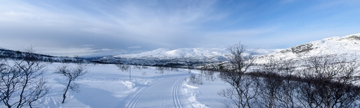
Foto: Jan Mielke
Foto: Jan Mielke
Tilbake til oversiktskart
Løypestatistikk
| Høydeforskjell: | 253 m | ||
| Laveste punkt: | 756 m | Høyeste punkt: | 1009 m |
| Høydemeter oppover: | 372 m | Høydemeter nedover: | 133 m |
| Bratteste oppover: | 35 % | Bratteste nedover: | 32.4 % |
| Lengste oppover: | 1186 m | med en høydeforskell av 160 m | |
| Lengste nedover: | 359 m | med en høydeforskell av 27 m | |
| Stigning/Fall | >15% | 10% - 15% | 5% - 10% |
| Oppover | 740 m | 914 m | 1067 m |
| Nedover | 90 m | 184 m | 897 m |
| Flatt terreng (±4%) | 3095 m |